EXPERIENCES / KAKADU
Centralian Highlights
Overview
None of our other Red Centre trips offer such a variety of walks in such a short time. No other tour operator has anything like this on offer.
While this trip is a great bush experience, it is also very different to most of the trips we offer. It includes more driving & more campgrounds than most of our trips. It is also run on a share expense basis. Please don’t even think about booking until you’ve read the detailed trip notes in full.
We will choose among the many possible walks based on the conditions at the time as well as on the wishes of those who book early.
RED CENTRE
April
13 - May 3
2025
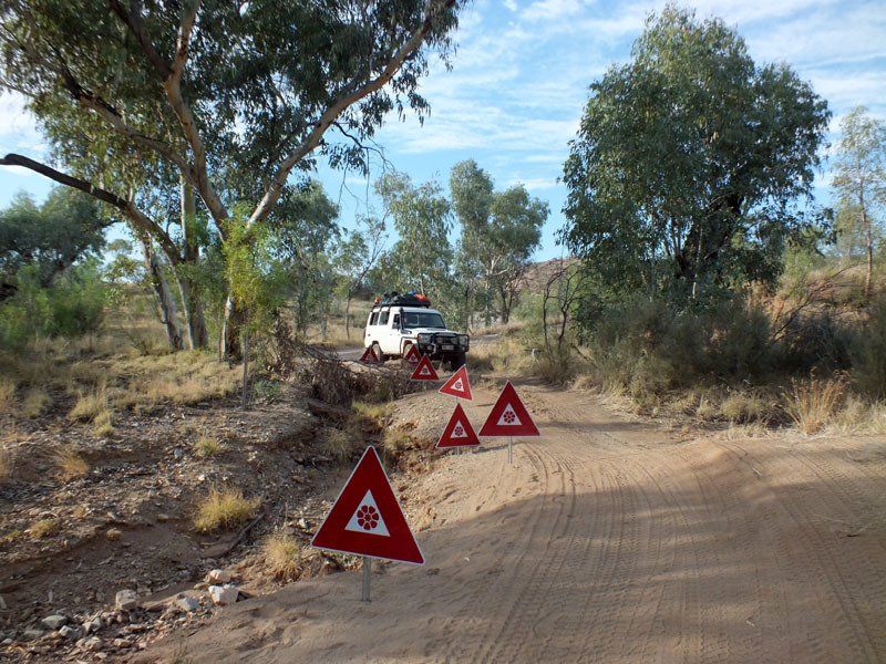
The following itinerary assumes that all the main tracks will be open. If some tracks are closed, we’ll substitute whatever else may be available.
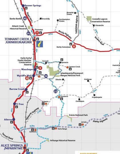
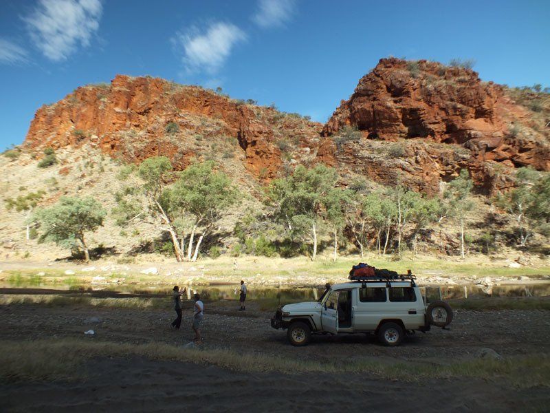
We begin with a very long drive to somewhere south of Tennant Creek where we turn off toward Iytwelepenty / Davenport Range National Park.
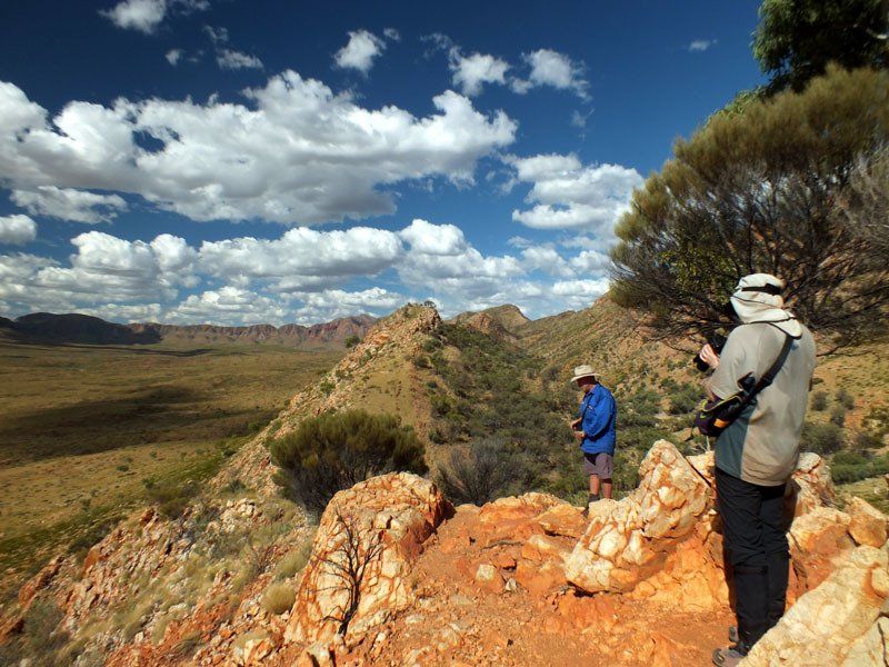
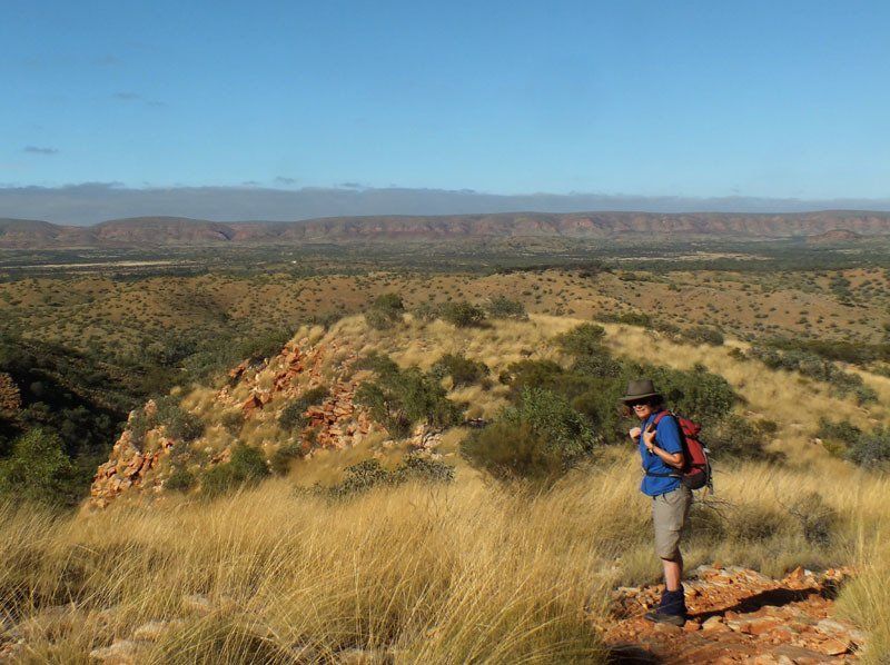
We will spend one or two nights in the park before following the 4WD Binns Track south, stopping at the Mac & Rose Chalmers Conservation Reserve on our way to the East Macdonnells where our possible destinations include, Arltunga, Ruby Gap, N’Dhala, Trephina Gorge, Jessie and/or Emily Gap.
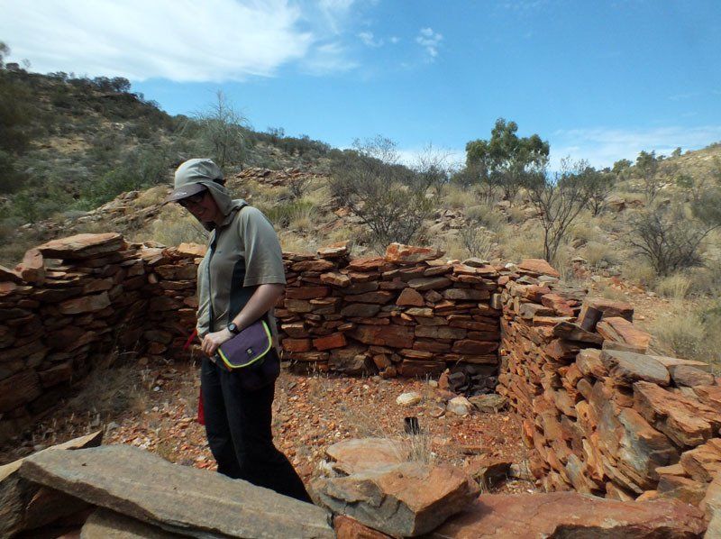
There are a couple of short walks at Arltunga, an old mining settlement where some of the buildings have been restored.
Ruby Gap and Trephina Gorge both offer full day walks. The others have shorter walks. All are well worth a visit.
Heading west, we pass through Alice Springs where we spend a night before and replenish supplies before moving west.
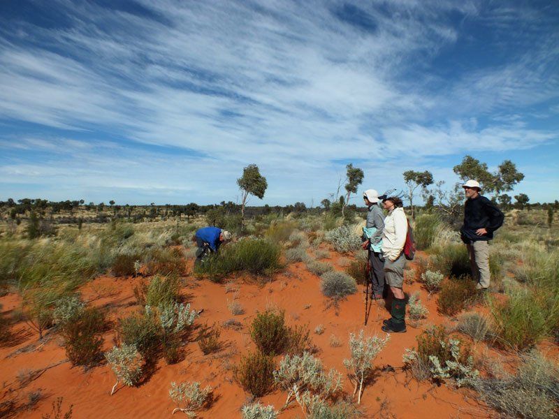
We have a number of choices for the western part of the trip. We can’t tell you which combination we choose until we know what the road conditions are and have talked to those who book early. Our options include but are not restricted to the following. None are particularly strenuous but some are definitely more strenuous than the others.
Ormiston Pound & Bowman’s Gap: 2½ to 3½ days
We follow a marked track into Ormiston Pound and set up camp near a waterhole.
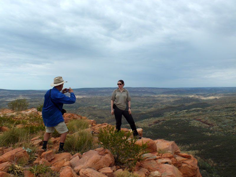
Conditions permitting, we will do a long day walk to the top of Mt Giles for one of the most spectacular views in the region.
We then shift camp to near Bowman’s Gap where we find one of the largest permanent waterholes in the Centre.
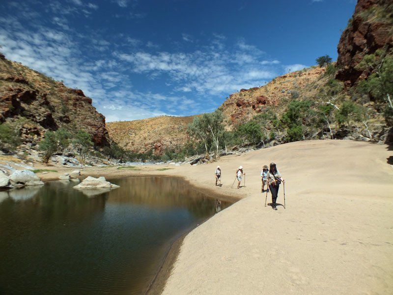
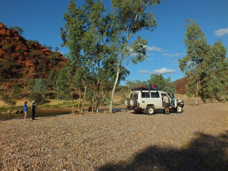
Boggy Hole Track: 3-3½ days
The Boggy Hole Track is one of the NT’s best 4WD experiences. It can, however, get shut by particularly wet conditions. The two best walks along the way are half a day above Boggy Hole and a full day or overnight walk to Circular Valley, cut out by the Finke River which has since changed it’s course.
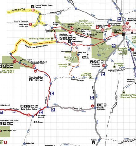
We stop just before entering Watarrka National Park and do the Karrke Cultural Tour
so we can gain an appreciation of what life was like for the original inhabitants.
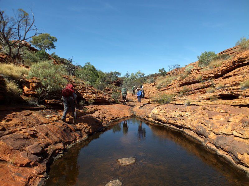
Watarrka National Park: 3½ days
The famous Kings Canyon is a tiny part of this large National Park. In keeping with the wishes of the Aboriginal traditional owners, we will base our walk on the Giles Track, making only minor detours to have a look at interesting things we find along the way.
The Giles Track is a little known gem. Most people take two days. A few walk it in one. We plan to spend four so that we can take our time and appreciate all it has to offer. If time permits, we will include the more famous Rim Walk at Kings Canyon as well.
On the final day, we finish the walk, have lunch at the resort and drive back to Alice Springs via the Mereenie Loop road.
From Alice Springs, we offer a free 2 or 3 day ride back to Darwin.
Details
DATES
April 13 - May 3
Optional extension to May 5 or 6
PRICES
Full price: A$6795 + expenses
See the trip notes for details
GROUP SIZE
4 - 12 guests
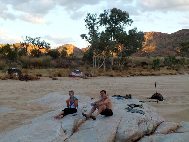
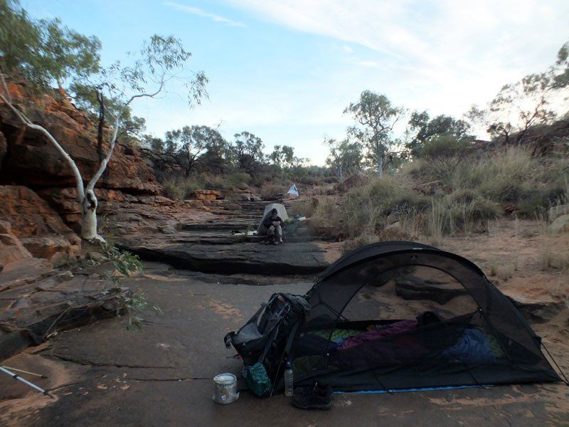
CAMP SITES
Mix of sand and rock ledges and maintained campgrounds. Most sites are good to excellent. You are unlikely to see anyone else at some of the campsites.
ART
Some in the East Macdonnells, possibly some elsewhere. Not a lot.
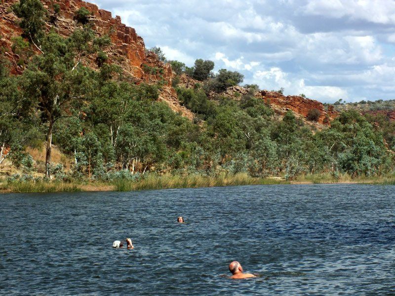
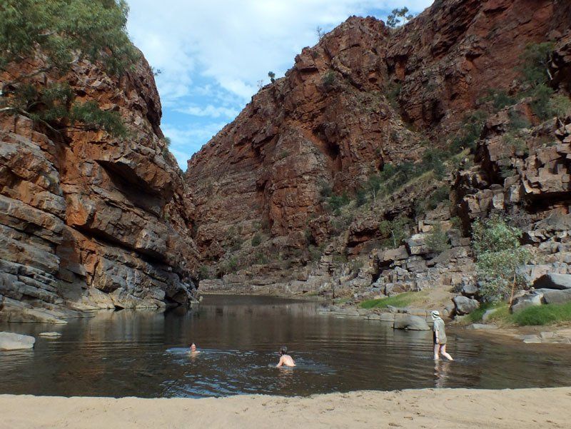
SWIMMING
Swimming is likely to be possible in a few places. The water should be cool, but not as icy as in June and July.
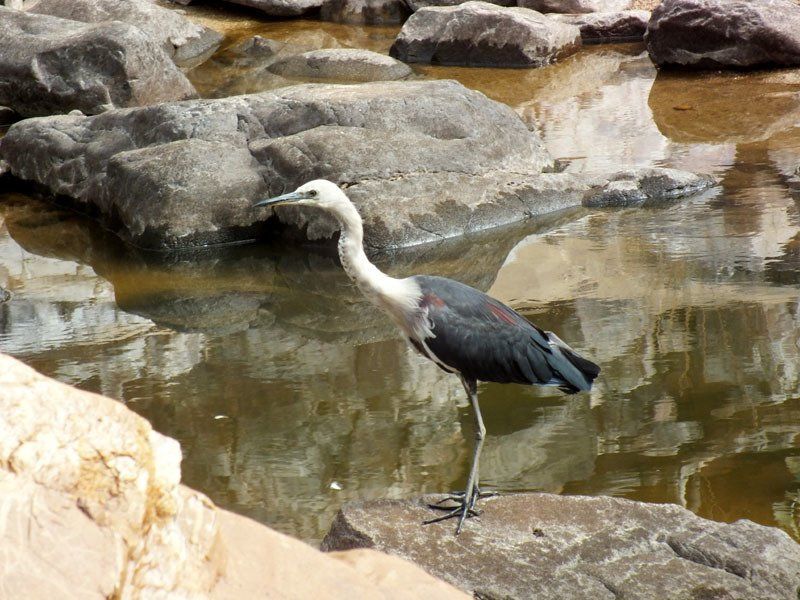
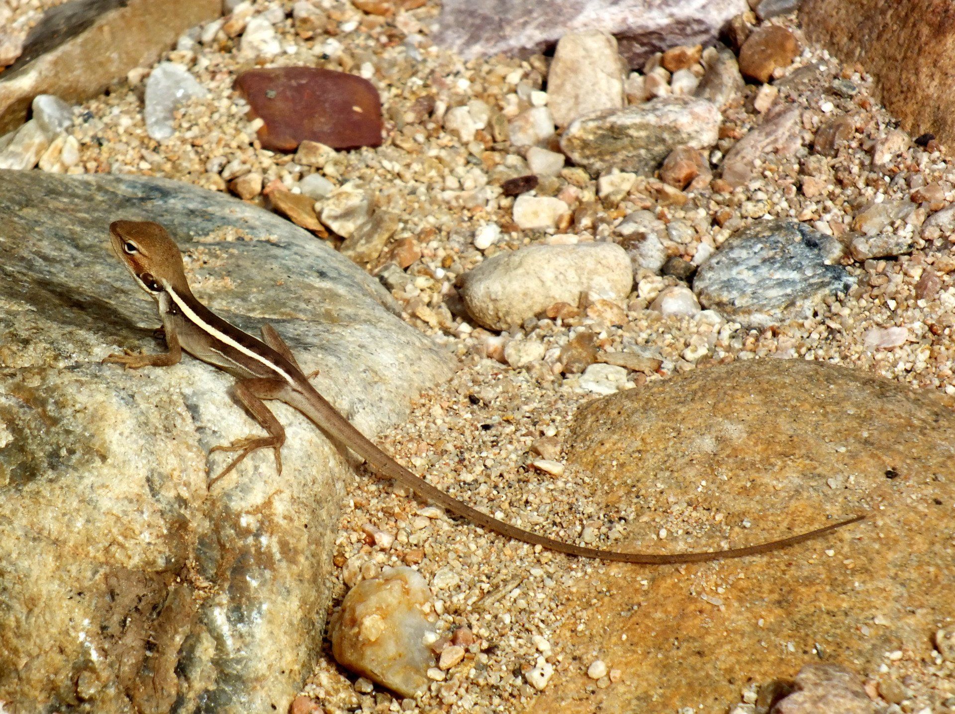
WILDLIFE
Birds are always present but you are unlikely to see many large animals. If you keep your eyes open, you have a good chance to see rock wallabies in some of the gorges.
CLIMATE
Average daytime max high 20s C, average nighttime min 10-15ºC. Night temperatures can drop to near freezing. Generally low humidity. Rain very unlikely but possible, you must
be prepared
COOKING
We will have camp fires wherever possible but may need to use stoves in some areas.
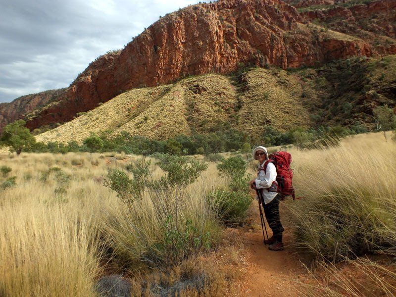
WALK RATING - EASY
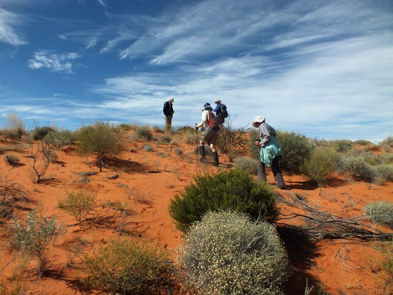
Terrain
Even if we choose the easiest possible routes, the pack carrying portion of this trip will include several moderately steep climbs and some rock hopping. Day walks can be quite long and quite steep. One of the possible day walks includes a very steep climb where you may need to use your hands to help pull you up.
Vegetation
Varies from year to year depending on when last burnt. Vegetation normally presents very little problem but, in some areas, the spinifex may be dense enough to make heavy gaiters and long trousers essential.
Distance
Generally 4-6 hours, not including breaks. A few days on the day walks might be longer.
Pack Weight
Depends on which walks are included. Even on the longest walk, you will need to carry only 5 days food. You need both a sleeping bag and a tent. You should also carry rain gear. The popularity of some of the campsites means that firewood may be scarce so we will carry a stove and fuel.
Itinerary
*This itinerary is subject to change
View more